Hall 5 of 9
Hall of EcologyThe Journey of a Grain of Sand (North to South)
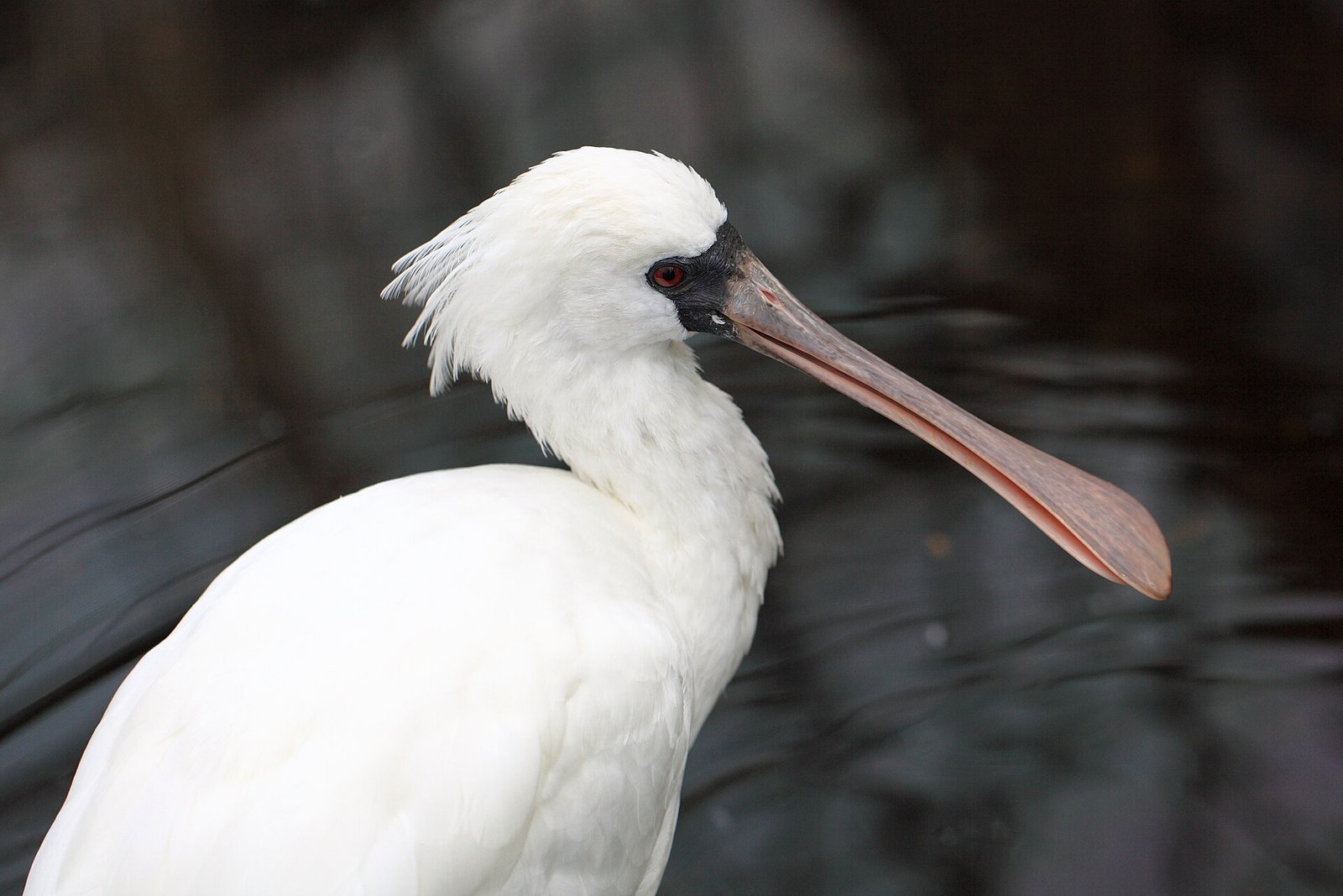
TANAKA Juuyoh (田中十洋) (Wikimedia Commons)・CC BY 2.0
The sand of the Zengwen River (曾文溪) is caught again and again by groins and breakwaters; the sandbars retreat eastward, the lagoon silts up, and the coastline recedes. This hall follows a grain of sand from north to south to see how Tucheng's coast and ecology came to be what they are today.
What this hall is about
The land Tucheng (土城) stands on was built from sand carried down by the Zengwen River (曾文溪). Reservoirs, groins, and breakwaters later changed where that sand went: the sandbars retreated eastward, the lagoon silted up, and the coastline receded. Today's coastal wetlands, windbreak forest, and mudflats are all results of this process.
This hall follows the path of a grain of sand from Beimen (北門) to the Golden Coast (黃金海岸), with its focus on Tucheng's home ground: the Chengxi (城西) windbreak forest and the Qingcaolun (青草崙) seawall. Each page brings together figures from official surveys, statutory zoning, and conservation notices, and records plainly where those figures disagree. Its nine subpages follow three threads:
Thread 1
Overview
Where the sand comes from and why it cannot stay.
- 5.0The Journey of a Grain of Sand (Overview)Start here1732
From the course change of 1823, through sand cut off by reservoirs and groins and the eastward retreat of the sandbars, to the retreat of the Golden Coast.
- 5.6Climate Change and the Legal Framework2042
Figures on sea-level rise, the provisions of the Coastal Zone Management Act, and the dispute over the Provincial Highway 61 bridge across the Zengwen River.
- 5.0The Journey of a Grain of Sand (Overview)Start here1732
- 5.3Chengxi Windbreak Forest (Tucheng's Home Ground)Start here2264
A protective forest of beach she-oak (Casuarina equisetifolia) planted from 1910, and the land crabs, Hoppo cicadas, and forest wetland beneath it.
- 5.3bThe Two Faces of the Qingcaolun Seawall1964
Land crabs and the windbreak forest behind the seawall, and outside it the southernmost range of the Formosan fiddler crab (Xeruca formosensis) in Taiwan.
- 5.3cCollecting Memories by the Sea1545
The status and conservation of Matuta victor (勝利黎明蟹), the mud crab (Scylla serrata, 鋸緣青蟳), and the brown land crab (Cardisoma carnifex, 兇狠圓軸蟹) in official records.
- 5.3Chengxi Windbreak Forest (Tucheng's Home Ground)Start here2264
Thread 3
The coast from north to south
Beimen, Qigu, and Sicao to the Golden Coast, with the legal status and changes of each stretch of coast.
- 5.1BeimenStart here1221
The Jingzijiao (井仔腳) tile-paved salt fields, the Beimen lagoon, and the northern boundary of the national park.
- 5.2Qigu3963
The legal status of the Zengwen River estuary wetland, and the two sets of statistics on the black-faced spoonbill.
- 5.4Sicao and the Mouth of the Yanshui River3353
Four area announcements for the Sicao Wildlife Reserve, and its A3 zone within Chengxi Village.
- 5.5From Anping to the Golden Coast1232
The downstream end of "erosion in the south, accretion in the north," the two faces of accretion and retreat, and the offshore breakwaters and beach nourishment.
- 5.1BeimenStart here1221
Sources used in this hall
Ten data tables on the ecological zones; about 35,000 open-data occurrence points; summaries of government-commissioned research; 113 eBird hotspots and 419 taxa; reports commissioned by the Taijiang National Park Headquarters.